


LIDAR Platform Nantes-Rennes-Caen EN
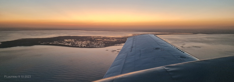
Beginning of an airborne campaign above Noirmoutier 9 10 2023 (from a PA31 of PixAir-Survey (tender offer n° 23034PAN )
Presentation of the platform with a U of T seminar
/ 1
Example of application
/ 1
Publications
In topographique mode and hyperspectral imaging (HSI)
Launeau, P.; Giraud, M.; Ba, A.; Moussaoui, S.; Robin, M.; Debaine, F.; Lague, D.; Le Menn, E. Full-Waveform LiDAR Pixel Analysis for Low-Growing Vegetation Mapping of Coastal Foredunes in Western France. Remote Sens. 2018, 10, 669. https://doi.org/10.3390/rs10050669
Frati, G, Launeau, P., M. Robin, M. Giraud, M. Juigner, F. Debaine et C. Michon. Coastal Sand Dunes Monitoring by Low Vegetation Cover Classification and Digital Elevation Model Improvement Using Synchronized Hyperspectral and Full-Waveform LiDAR Remote Sensing. Remote Sens. 2021, 13, 29. https://doi.org/10.3390/rs13010029
In bathymetric mode
Launeau, P.; Giraud, M.; Robin, M.; Baltzer, A. Full-Waveform LiDAR Fast Analysis of a Moderately Turbid Bay in Western France. Remote Sens. 2019, 11, 117. https://doi.org/10.3390/rs11020117
Full dataset 6-7 nov 2017 et 11 août 2018 with free access
Launeau Patrick, Giraud Manuel, Robin Marc, Baltzer Agnes (2019). Full-waveform LiDAR bathymetry of the La Baule bay. SEANOE. https://doi.org/10.17882/58968
For any question, please contact
patrick.launeau@univ-nantes.fr
patrick.launeau@univ-nantes.fr
Mis à jour le 26 mars 2025.